Archive for June, 2009

Damp beginning

Saturday, 13th June 2009; 8:50 am - Location:

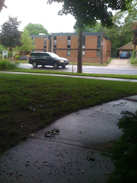
The weather for my ride to Warren Dunes is… not what I hoped for. It’s been raining lightly, and there’s a batch of heavier rain about to pass through the GR area. That’s not a big deal; I can wait that out before leaving.

But there’s also a larger storm system inching its way toward the southern half of today’s ride, arriving later and leaving later. I might not be able to out wait that as well, since it might be late afternoon before it’s gone. It looks like the rain gear is definitely going to get used, and there’s no question that I’ll be getting some practice riding on wet pavement.

At least the forecast for tonight mentions only a 10% chance of rain, and the same for tomorrow.

Fieldblogging

Thursday, 11th June 2009; 9:45 am - Location:

Most of my previous travel has been either before the emergence of web publishing, or in places where internet access was impractical: in the wilderness or at sea. So this is the first time I’ve considered the possibility of blogging a trip, from the road.

At the risk of sounding like an Apple salesman (which is easy to do, because I was one for the better part of a year), what makes it practical is my iPhone. There are other devices that could do the job, and there’s no question that I’d prefer to use the keyboard on my MacBook Air rather than poking at the screen of my phone, but there are several factors that make the laptop vs. phone debate a slam-dunk.

1) I can recharge the iPhone on my scoot with the same 12V power adapter I bought to charge my old iPod in the car. The MacBook requires 14.5V to charge, which means I’d need some kind of funky voltage-step-up device, and I’m not sure what kind of amperage it’d need. Too much trouble. So my only way of recharging would be campsites with electrical hookups, and not all of the places I’ll be staying will have that.

2) It’s more durable than a computer. The MacBook Air is available with a solid-state drive, but I bought the more affordable spinning-platters variety. I wouldn’t want to put it through 1000 miles of vibrating in the cargo bay, so I’d have to carry it in a little backpack or messenger bag instead. In the other hand, the iPhone has no moving parts to rattle apart, and it’ll fit in my pocket, where it’ll be safe from everything except me falling on it.

3) As slim and light as the MacBook Air is, it’s still a pretty large item to pack on a bike. See the above comment about my pocket.

4) The phone has built-in cellular capability that’s already paid for. The MacBook has wifi of course, but to get online outside of coffee shops I’d need a cellular modem, and an extra account to use it.

5) I’m bringing the phone with me regardless. Not only is it my phone (an essential piece of emergency equipment), it’s also a navigation tool, a calculator, a way to get information online, etc. So the question is “MacBook + iPhone vs. iPhone?” Trying to pack light… the choice is obvious.

The biggest question I have is how effective the internet access on it is going to be. I know there will be places in the UP where there’s no coverage (because AT&T admits it on their map), and there are even places here in Grand Rapids where AT&T’s justifiably-maligned service fails me. But even if the “can you hear me now?” test fails in one spot, I hope to be able to find another spot nearby where I get a strong enough signal to get online.

There’s an iPhone app that serves as a client for WordPress, and makes it surprisingly easy to manage a WP blog. It allows you to take a photo with the phone’s camera and post it… in fact, it’s easier than doing it with the standard WP web interface on a full-size computer. You can also compose messages offline and post them later when you get a decent signal from AT&T.

Perhaps best of all, one unintended consequence of using the iPhone keypad to type on rather than a full-size keyboard, is that it’ll keep me from going on and on and on like this. 🙂

Reservations without reservation

Monday, 8th June 2009; 6:41 pm - Location:

I’ve taken the plunge and reserved sites at the rest of the state parks on my itinerary. There’s a good chance I won’t need reservations at all of them, but a couple of the parks were half-full, and I wanted to make sure I got the specific sites I’d picked out. Plus… I’m a bit restless about having to wait two whole months yet, and this was a step to make it feel closer.

I also booked my passage on the Badger for the last night. The only night’s lodging I haven’t nailed down is at Pictured Rocks. The National Park Service doesn’t take reservations for those campsites, so I won’t be 100% sure about that until the day I get there. (I have a commercial campground in the area identified, just in case.)

Navigation aids

Wednesday, 3rd June 2009; 3:27 pm - Location:

I’ve spent a bit of time using Google Maps and/or MapQuest to plan my scoot route. I start by just asking for a route from State Park A to State Park B, with the “no highways” box checked, then go in and pull that line off all the minor highways Google is still drawn to, onto more scooter-friendly roads. The problem is that this can produce some rather complex navigation instructions. I can’t memorize every street I’m supposed to go half a mile on, which one to turn onto next, etc.

In theory, I’ll have all of this info in the palm of my hand, via the cellular internet connection of my iPhone. But there are a few problems with that. First, I won’t have the phone in my hand while riding. Using a phone while driving a car is hazardous enough; doing it on a scooter – where you really should keep both hands on the handlebars, and where dropping the phone means certain damage (or worse) as it clatters along on the pavement behind you rather than just slipping under the car seat – is even worse. Second, even if I did have it in hand, the iPhone doesn’t work with gloves on, and really requires two hands to manipulate. Third, there’s no guarantee that I’ll actually have a usable AT&T data signal at any given point on the route.

So I need some alternative method of figuring out where I am and where I’m going.

Years ago I bought a road atlas of the US that includes a two-page map of Michigan, and this has served me well for most of my travels around the state. But the level of detail it includes is based on the usual automotive drive-by navigation, sticking to roads whose names are numbers.

A friend of mine has a TomTom GPS unit that he’ll let me borrow for this. It can be charged by the 12V outlet on my scooter, which is handy. I haven’t tested it outside of the city, but it should solve the coverage problem of the iPhone, so it’ll be able to locate me pretty much anywhere. Its options for specifying the kind of route to take are more flexible than Google’s (e.g. you can set a maximum speed), but it can’t follow a user-customised route taking the most scenic route instead of the shortest or fastest, so I don’t think it’ll work for turn-by-turn directions.

I might also use Google to print off a “map of the day” for each leg of the trip. That might cover a small enough area to include all the relevant roads in the region (including names) so that I can figure out where I am when I (inevitably) miss a turn. I might also print off a list of directions and tape it to my handlebars, so I can (try to) follow it as I go, rather than relying on my increasingly fickle memory.

And I guess if all else fails, I can stop and ask someone for directions.