Archive for July, 2012

Brevort morning

Monday, 23rd July 2012; 7:35 am

I had a brief scare last night, when I found that the inflatable mattress I’d inflate an hour or so before was no longer inflated. I blew it up again and looked for the leak, but found none. All I can figure is that I didn’t tighten the valve enough. It stayed inflated all night.

By the way, I’ve been a little frustrated trying to figure out how to deflate the pad for packing. No matter how much you try to squeeze the air out, there’s always some left, which makes it hard to fold/roll up. Then it dawned on me to just do the opposite of what I did to inflate it. Duh.

Despite the prediction of possible rain, it’s been clear since I woke up at 6. I have plenty of time to get to St Ignace for the morning ferry that goes under the Bridge.

20120723-073251.jpg

Brevort Lake

Sunday, 22nd July 2012; 10:10 pm

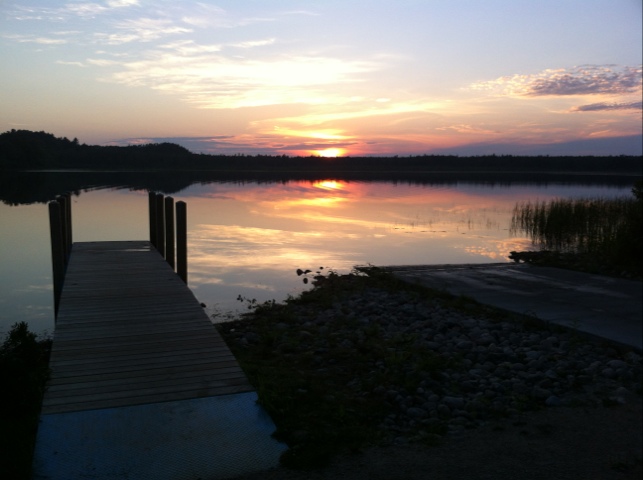
Brevort Lake campground is… not what I expected.

As a campground in Hiawatha National Forest (which sprawls over much of the UP) I expected a state forest campground, but administered from Washington instead of Lansing. And maybe others are like that.

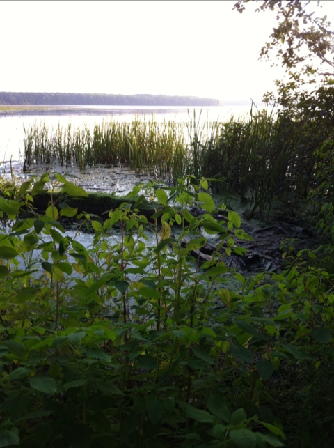
But this is “Brevort Lake Recreation Area, and that evokes a whole different set of expectations. State rec areas are like state parks but without being so… special. Just a lake and some woods, conveniently located, and equipped for familes to go boating, fishing, hiking, swimming, or such.

This isn’t quite that, but it’s closer. This isn’t the totally rustic angler’s getaway I thought it would be. There are fishers here, to be sure, but they seem to have brought the family. There are RVs and pop-up trailers. Kids are riding around on bikes. There are on-site staff, including campground hosts: people who live here and presumably organize activities. There are concrete buildings with flush toilets. Sounds like a state park, right?

But it’s not. There’s no electricity at the camp sites. And there are no showers. The lack of electric service means that some people bring generators. The lack of showers… means people smell a bit, I suppose.

But overall, it looks like the National Forest Service trying to get in on what the state parks are doing. Or more precisely, a private concessionaire contracted with the NFS to manage the site. I wonder if they pay a flat fee, or if the government gets a cut?

So. Taking all this in has been how I’ve spent the last hour or so, since setting up camp and wandering about here. It doesn’t change my feelings about selecting this campground; either kind suits my needs well.

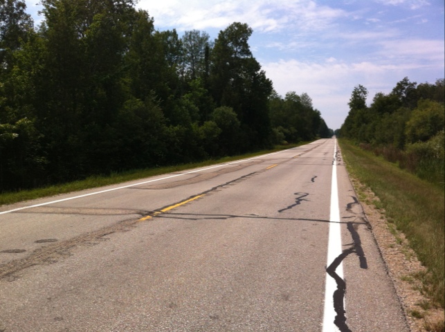
The weather forecast for tomorrow remains frustratingly vague. A generic “40% chance of rain” tells me little, and smacks of statistical analysis rather than looking at what’s actually happening in the air out there. It actually makes me appreciate the TV meteorologists who wave at the maps “behind” them, because they seem to actually care when and where that rain might fall.

20120722-220824.jpg

Evening at Epoufette

Sunday, 22nd July 2012; 7:20 pm

After my late lunch I pretty much rode straight through. I stopped in Newberry for gas, not because I was running low, but because it could be my last chance before St Ignace, and I wouldn’t make it that far without a refill. Newberry is classified as a village, but it’s more of a town, the largest community in the interior of the eastern UP. It has (poor) cell coverage, so I also loaded a little more map detail for the road ahead.

The route I’d planned for the rest of the day was a balancing act between highways and dirt roads; I try to avoid both. I was a little uncertain about one stretch, and I stopped at an intersection to think it over before I committed to that route, versus taking a more sure route that would involve riding US2 for a while. A car pulled up next to me, and the older couple in it offered directions. I asked if Hiawatha Trail was paved all the way to US2, and they assured me it was. Problem solved, and it turned out to be a really nice road for me.

When I reached US2 I discovered just how good a choice it was for me to avoid it. West of this point, for some unknown distance, they are repaving. Much like they were doing on another segment of US2 when I can through three years ago. The new pavement is super-smooth tar, which I don’t like; give me a little texture to grab. I still have to ride about 5 miles of US2 east from here, but at least it should be more normal pavement.

Although I just had lunch a few hours ago, I am having supper at the place if originally picked out for that. Because there is nowhere else between here and the Brevort Lake National Forest campground. That site is a little inaccessible, so once I get there I don’t want to go looking for food.

The restaurant is right at Hiawatha and US2, the Bay View Inn, which has… you guessed it: a lovely view of Epoufette Bay. Seriously. It’s a nice little family restaurant with binoculars on the windowsills if you want to look more closely at the bay. I’m having the unspecified-but-locally-caught-fish and chips. Sure enough, the fish is boned and battered but still has the skin on.

20120722-192113.jpg

Pine Stump Junction

Sunday, 22nd July 2012; 4:21 pm

I’d identified Pine Stump Junction, Nowhere, MI as my best option for lunch on the route from Tahquamenon to Muskallonge State Park on Lake Superior. I’ve decided not to go all the way to the Lake, but rode to Pine Stump anyway.

I was about ready to give up when I found it. It’s not much, really: a bar with basic burgers, pizza, and fried chicken, and a single pre-digital gas pump with a note on it apologizing for the price. Recently refurbished from the looks of it. But it has wifi. I am content. I still can’t get a cell signal, but I’m online. I can post updates, and I can check the weather forecast. Tomorrow’s looks iffy, but better knowing that than not.

20120722-161939.jpg

Tahquamenon and on

Sunday, 22nd July 2012; 3:57 pm

(actual time: 7/22 2pm)
I’ve been to the Upper Falls and done a little hiking. This has definitely been a “better” visit than my drive-by in 2002. But it’s 2:00 and all good things must come to an end. I still have some of the interior of the UP to explore, and only about 4-5 hours to do it before supper on Lake Michigan and making camp near St Ignace. The only restaurant is still the brewery, which is a bit pricey for another meal, so I’ll get a late lunch on the road.

20120722-141557.jpg

20120722-160251.jpg

Morning at the Falls

Sunday, 22nd July 2012; 3:57 pm

(actual time 7/22 noon)

I was awake before 7 as usual, and took a leisurely shower (first in 48 hours). I made my way back to the Lower Falls around 8, but discovered that the concession renting boats, for rowing around the basin at the falls and to the island in the middle of them, didn’t open until 9. So I spent some time looking around and taking more pictures from the riverbanks.

They have a few canoes, so I rented one of those ($5 per person). I like being able to see where I’m going, and I’m a good enough canoeist to handle one myself. This gave me a different perspective on the falls than I’d gotten on my short visit 10 years ago.

There was heavy dew this morning, on the underside of the tent and it’s rain fly. Fortunately it’s totally sunny, and Apollo dried them out I quick order.

I just discovered that DEET-based insect repellent will dissolve the waterproof lining of my shoulder bag. My bottle wasn’t sealed tightly and leaked. Fortunately it was only an outside pocket, but I had to flush that part of the bag with water… and let Apollo do his work.

It’s noon, and I haven’t been to the Upper Falls yet. Clearly there’s a lot more to see here than at Mitchell State RV lot in Cadillac. 🙂 I have time. Today’s planned ride is 120 miles, but I can cut 50 off that by turning left instead of right at one point. I can do that without compromising my goal of hitting the three easternmost counties in the UP because the Upper Falls turn out to be in the last of them, so that’s a done deal already!

20120722-160148.jpg