Archive for July, 2012

Falls (no falls)

Saturday, 21st July 2012; 9:56 pm - Location:

The ride out of Soo was pretty pleasant. Instead of the state highway that runs east to west, I took the designated “scenic byway” which runs along the lakeshore. It’s 55mph, but with light enough traffic that most vehicles coming up behind me could quickly pass. (Even M123 for the last leg was OK; the only destination at its north end is Tahquamenon, and most people going there this weekend were already there.) And there were more interesting opportunities to stop and see the sights.

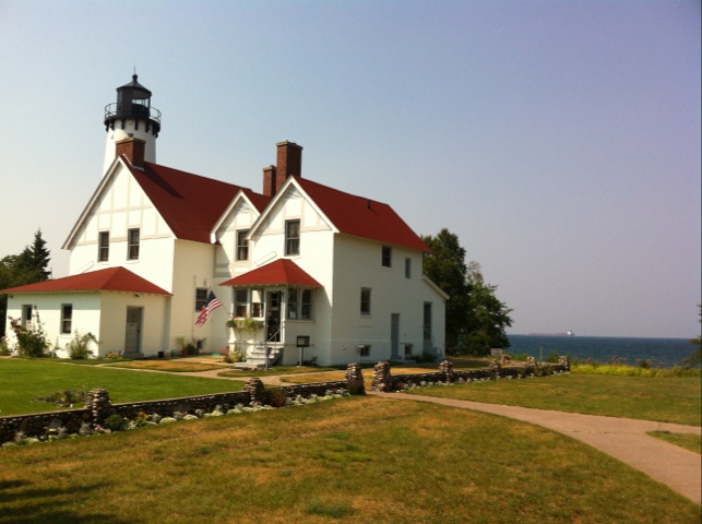
For example, there was the Point Iroquois lighthouse (retired), a classic three-story light with a house attached. Visitors can climb the light tower, via a very tight metal spiral staircase. For reasons I cannot fathom, the family ahead of me led their blind aunt (I think) up to the top. She uses a white cane and wears black glasses. She must have some sight, but I don’t see how she would appreciate the view enough to endure the harrowing stairclimb (and down). I found it uncomfortable, and I could see where I was putting my feet.

I made another stop later that was a bit more time and effort but not as much payoff. It was a hiking trail that turned out to be a mile each way through the woods, to a creek crossing. There was a neat bouncy bridge at the creek, but I kinda wish I’d saved the time for Tahquamenon.

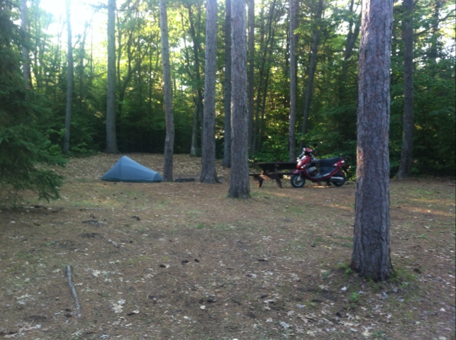
So I arrived at the state park at 6:30, a little later than I intended, but not too bad. Before I explained that I had a reservation they said they still had some vacancies in the Overlook campground (where my site is), but it doesn’t look like many. My site is lousy for most campers – there’s almost no level area – but I like it. I only need a small spot for my tent. It’s off in a corner (why I picked it), and right next to the trail to the Lower Falls (not quite a mile). Despite the name “overlook” you can’t see the falls from here, but you can hear them.

Tahquamenon consists of two entirely separate set of falls, a few miles apart. The Lower Falls are a network of short falls splitting and going around a small island. The Upper Falls are one big drop.

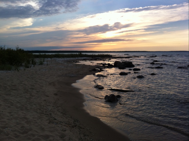
I had about an hour to take pictures at the Lower Falls. Of course several future Darwin Award recipients had to go wading or swimming in the middle of the falls, getting in the way of my shots.

My time was cut short, not by darkness but by the hours at the Thaquamenon brewpub/restaurant, located at the Upper Falls; they close at 9:00 on Saturdays and they are the only restaurant for miles. I had lunch here 10 years ago; this time I figure it’s OK to have a couple beers, since I’m camped a few miles away, rather than driving to Copper Harbor at the other end of the UP as I was doing then. The food is expensive (typical dinner entree $18), but quite good. I had the small-portion broiled whitefish with wild rice soup. And two glasses of Falls Tannin (American red brew). My total bill comes to twice my daily dinner budget. Oh well: it’s on the credit card.

The mosquitoes and other insects have been remarkably mild. I guess I have the not-technically-a-drought to thank for that.

Tonight marks the halfway point of the journey: four days getting here, followed by four days getting home. The fact that I’m also at my main destination at this point is logical… but we’ll see how it works out emotionally. On my first big ride, after reaching Pictured Rocks I was ready to just get home, and I rode over 200 miles one day to take a day off the trip. I still have a visit to Mackinac Island on the itinerary for the day after tomorrow, so that’s something more to look forward to. But it’s still 2.5 days’ ride through Huron National Forest and just-plain-mid-Michigan after that.

There is no cell service at all here, so I’m writing this offline to upload later.

20120722-160032.jpg

Locks and laundry

Saturday, 21st July 2012; 1:32 pm

I am doing laundry in a so
Reheat sad laundromat in Sault Ste Marie. It has no hot water, so I’m washing everything in a load of cold. By “everything” I mean everything washable except my shorts (which I haven’t worn yet) and one t-shirt. It’s near the locks, so I went down there to look around a bit while the machine ran. The whole locks system has been Homeland Securityed with ominous “you must submit to being searched” warnings at every entrance to the viewing platform and surrounding park (not that they’re actively doing that).

With the bridge and Ontario off the table, I’m going to leave Soo early and see if I can spend more time at the Falls this evening (not just tomorrow morning).

A bridge too slow

Saturday, 21st July 2012; 12:06 pm

Before coming to Soo, I checked to see whether I’d be allowed to cross International Bridge. Apparently they even allow bicycles, so I’d be fine. It’s not nearly as long as Mackinac, so that’s OK. I brought my passport, so I’m set for the border crossing. However.

I didn’t consider the amount of time it would take to cross. Sure, I have plenty. But then I saw the traffic on the southbound side, backed up at least halfway to Canada. I overheard one person say she’d been stuck on the bridge for half an hour. And I really don’t think I want to sit in stop-and-go traffic on a bridge high enough for freighters to pass under it. So I’m skipping Canada this time. Sorry, eh?

East of nowhere

Saturday, 21st July 2012; 11:31 am

I’ve stopped at the intersection of Gogomain and Pennington, about to turn north for the Soo. And to take off my rain gear. I got dripped on a little, but once again I managed to thread the needle, dawdling just enough for the rain to pass ahead of me. The roads for the past half hour have been wet but the sky is clearing. I can’t be certain however if this will last because AT&T has handed me off to a Canadian cell tower, and I’ve disabled obscenely priced international roaming.

I’ve seen some wildlife this morning. A flock of turkeys crossed the road ahead I me. I stopped, and they started walking down the road. I ended up having to chase them. I passed a couple fawns 10 feet from me, who didn’t have the sense to run. Later I stopped for an adult deer, whom I snapped a couple pictures of. (One good thing about wearing my rain gear is that it doesn’t get in the way trying to get my camera out of the bag.)

Morning on Huron

Saturday, 21st July 2012; 7:34 am

Las night was quiet after all. A couple vehicles left a little after dark, cutting the noise from that campsite substantially. The baby stopped crying too. A comfy 60F, just a little wind in the trees.

It’s sunny, but that won’t last. It’s raining in Paradise as I write, where there’s a line of thunderstorms coming off Lake Superior. They’ll hit Sault Ste Marie shortly and here in maybe a couple hours. It looks like there might be a partial opening in the front (ie just some rain, not a torrent) but I’m not counting on it. I’ll be getting rained on today. My hope is that it will pass and let me on my way.

20120721-072701.jpg

Evening at the tip of the UP

Friday, 20th July 2012; 10:02 pm

I arrived at DeTour State Forest a bit after 5pm. It’s about 5 miles short of DeTour Village* on a little point sticking into Lake Huron. This is the first “forest” of this trip; the two previous camp sites have been “parks”. The two have different missions, but from a camping standpoint the main differences are: no plumbing and (lately) no staff.

So state forests tend to attract fewer old couples in RVs and families with children, and more middle-aged hunters and fishermen. Which makes it ironic that this is the first place (this trip) where I’ve had a problem with noisy neighbors. Cadillac and Petoskey were very different from each other but nicely quiet. DeTour… isn’t.

It’s mostly just one family, in the two sites next to the one I picked. I counted five vehicles and there had to be at least a dozen people, including one child and two 13ish girls. And a bunch of adults with voices that carry. I ended up unstaking and picking up my tent and carrying it to the other end of the campground, then walking the bike to my new site. There’s a baby near this site that cries from time to time (who brings a baby camping?) but that’s better than the shouting and squealing and laughing.

In addition to having no one to police noise levels, “no staff” means no reservations and no one to collect fees. They do it on the honor system: you fill out a little form and drop it with your fee into a little pillar. I didn’t have the right change. Or a pen.

I left the tent and rode into DeTour for supper. I went to the Mainsail, based on online reviews. It’s basically a bar with a menu; I had the whitefish sandwich, hoping to have something localish that way. The waitress let me borrow her pen to fill out my campsite form. I got the correct change to leave at the campsite. (And I just realized that I forgot to leave a tip. Oops.)

At one point in the planning I intended to take the ferry to Drummond Island, just across the channel, and the true easternmost point of UP Michigan. But there’s nothing super special about it, and it didn’t seem worth the trouble for just an hour or two.

I returned to the campground early enough to hike the trail here, which takes you through the various habitats if the area (e.g. shoreline, hardwood, dirt road back to the campground).

The Google itinerary for today estimated 107 miles. My odometer registered over 150. That reflects a little bit of getting lost, some side trips (I rode out to the end of one of the peninsulas into Lake Huron, only to find a “private property” sign), and going into DeTour and back. Which is part of the reason I aim for 100 miles/day.

Tomorrow is slated for 130. And that’s not counting a possible side trip into Canadia.

*Every road sign refers to the village of DeTour as a village to avoid confusing people who might think it’s referring to a “detour”.

20120720-220308.jpg