Archive for July, 2012

Detour to DeTour

Friday, 20th July 2012; 6:23 pm

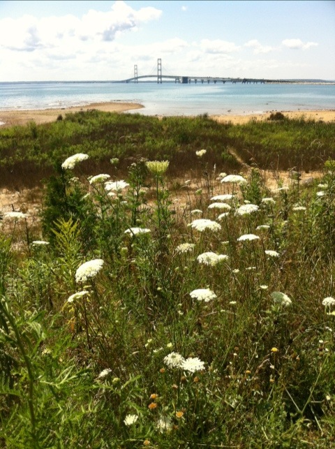
After reaching St Ignace, I headed to the cemetery next to the State Park, which both have a great view of the Bridge. A middleaged woman on a Yamaha Vino 50 arrived and appeared to be tending a grave. She approached me, and I asked if she’d ever taken it on the Bridge. She hadn’t, but she’s walked it (on Labor Day) and she said something about being up the towers(!).

I grabbed lunch at the Driftwood Motel restaurant in St Ignace, where I had a nice turkey panini. I still had half a tank of gas, but wasn’t completely confident that I’d find a gas station before reaching DeTour (I would have). But figuring that I’d have to fill up in DeTour regardless (to make it to Sault Ste Marie tomorrow) I bought half a gallon of gas.

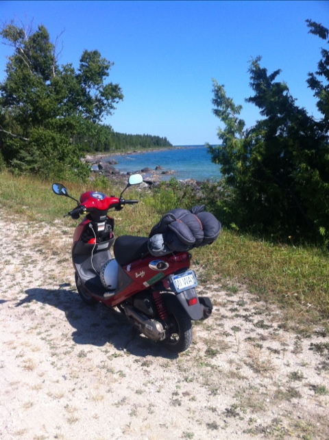
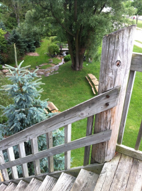
My route from there was simple enough, but I managed to good it up anyway. Trying to get on the Mackinac Trail out of St Ignace, I missed the turn off and found myself Onths parking lot for Castle Rock, an outcropping of rock with a tourist trap attached. Knowing that a hike up to the top would only freak me out, I turned around and found the turn-off.

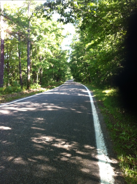
The route consisted mostly of two state highways. As a rule, letter-number roads like M123 and M134 would be bad for me, but they are literally the only way to get there. Fortunately “there” is not a major population center or tourist destination, so the amount of traffic wasn’t bad. Almost every time an SUV, car, or semi pulled up behind me, he could immediately pull over and pass.

I also pulled over for time to time myself. One place was Hessel, a little marina village, next to Cedarvile, a village with a gas station. Hessel had… a phone booth. Welcome back to the 20th century. 🙂

20120720-183102.jpg

If you can read this

Friday, 20th July 2012; 5:23 pm

If you can read this, it means I briefly got a data connection. I might be offline a bit the next couple days. I’ll post when AT&T permits.

Not a Bridge too far

Friday, 20th July 2012; 1:00 pm

Well that was easy!

20120720-130026.jpg

There was a sign by the highway that said “lane closed on bridge” (no, it didn’t say which), but I spied with my zoom lens and saw traffic in both lanes at the crest of the span. So I geared up, got on the expressway, and rode.

I maintained a speed of 35mph all the way (until traffic slowed down at the toll booth). No one was in the left lane, and the car behind me stayed there. I just don’t look to the right, and I was fine. The attendant at the booth didn’t ask any questions, and I rode on into St Ignace. (There was a lane closed, but it was going in the other direction.)

Trees tunneled

Friday, 20th July 2012; 12:17 pm

I got off to kind of a shaky start this morning. I almost headed off on M119 with an empty gas tank (which would not have ended well). But I noticed before I got far, and turned around to fill up. That was an awkward situation because the place I stopped was a full-service station… but I had to do the actual filling myself because the kid attending me wouldn’t know where to stop. So I paid a few cents extra for the convenience of him walking my credit card inside to pay. Then in the fluster of dealing with this awkward transaction, I put my gloves in the “wrong” place, and I was briefly afraid I’d lost them because they weren’t where I always put them when I take them off.

As anyone who has ever lived or worked with me knows, I do not suffer from OCD. My home and my office are both… chaotic. But when I leave both home and work…

In the wilderness, OCD is not a disorder; it is a survival trait. It comes in handy when traveling in general, but it manifests full-blown when I went backpacking for the first time in years, back in 2002. Keeping track of every item you are carrying… where it belongs, where it IS… can make the difference between a good hike an a disaster. The circumstantial OCD I learned for two trips to wilderness of Isle Royale serves me well for traveling by scooter as well.

Every item I bring is on the packing list. Every item on the packing list has a place. While I am not inflexible – the iPhone can go either in my left front pants pocket OR in the left pocket of my riding jacket, as appropriate – I find it very helpful to stick to the plan. That way I know in an instant whether I have my wallet or not. I can put my hands on my rain gear in seconds if needed (and in one case it was). In an environment in which all of the familiar things are absent, the familiarity of the packing system provides comfort.

The ride from Petoskey to Mackinaw was a good one. M119 was as much a pleasure to ride as I remembered. And I stayed to roads closer to the lakeshore this time; last time I wasn’t sure if they were paved all they way, so I took a surer route.

20120720-122327.jpg

To the tunnel

Friday, 20th July 2012; 8:04 am - Location:

I woke at 6 this morning, after a pretty good night’s sleep. It was starting to get light, and I needed to pee, and it’s not much earlier than I usually wake up, so I got up. It’s 55F, but I was warm enough in my bag. (I would’ve paid good money for a night this cool a couple weeks ago.)

Although I ended up taking Old 27 (again) yesterday, and I retraced a few miles of US31 when I got to Petoskey, my route for today is the first deliberate repetition from an earlier ride. There are two reasons for routing myself this way again: 1) I’m approaching a bottleneck at the Straits, and there are only a few viable options; 2) this stretch of road is really nice.

It’s called “the tunnel of trees”. For 30 miles M119 is a one-lane paved road curving through the woods near the shoreline, where the trees often form a complete canopy. It’s twisty, it’s very low traffic, and it’s pretty. It’s simply the best option going north from here.

Petoskevening

Thursday, 19th July 2012; 6:34 pm

I took a walk on the state park beach after making camp, and took some snapshots. It’s nothing spectacular, just your usual lovely sandy Michigan beach with dune grass and trees and thistles and stones and gulls… one tends to take these things for granted. 🙂 Not so the German couple with their two toddlers, for whom it was an exotic vacation in a faraway land.

A well recommended restaurant very nearby was Mim’s Mediterranean Grill. The traffic on M119/US31 (the road between the park and Petoskey itself) is crazy fast and heavy, so the less of that the better. Expecting a standard sit-down restaurant it turns out to more like fast food… but good. I had chicken shawarma (like the Avengers had in the movie). It’s a brightly decorated converted house. I’d say “cozy” but the neon goldenrod walls don’t really fit that.

20120719-183457.jpg
After supper I explored the Petoskey waterfront. The first time I came through here 10 years ago (by car) I thought it didn’t have one, or a proper downtown. US31 takes you right past the bay with scarcely a stoplight, and if you miss the unassuming turnoff for downtown, or the road that leads to the marina, you’ve passed it and there’s no obvious way to go back. I had the same experience three years ago when I came through on my way up the Lakeshore. This time I had the time, and was determined to find them, such as they are.

They are pretty nice, it turns out. Heading west from the park (the opposite direction from my previous visits) I pulled off at Sunset Park, which looked like a token “scenic lookout” plot of land with a wooden platform overlooking Little Traverse Bay. Except the platform was really a tall staircase leading down to Bayfront Park. And the marina. And the pier. Which are all worth a visit if you can find them. (There’s another entrance further into town. Near the turnoff for downtown, which is ironically on the hill above US31 and the marina.)

20120719-204513.jpg
The rain has dissipated and drifted south, leaving cloudy skies but no rain. Tomorrow is forecast to be dry. And importantly: not much wind. Because I’ve got a bridge to cross.

20120719-212102.jpg