Archive for July, 2010

Thumbwhere along Lake Huron

Tuesday, 20th July 2010; 12:21 pm - Location:

It’s been a perfect morning for riding. Well, maybe a northwest wind instead of a southeast wind would have been nice, but it wasn’t too strong. It was cool but not cold and mostly sunny. Traffic was minimal in both directions, especially behind me, and the road was nice and smooth, with just enough turns to keep from getting boring.

I stopped at a roadside park that just happened to be the northern border of the lands ceded by the Chippewa to the white men in 1807, marked by a big white rock in the Lake. Not that this border lasted long, of course. It was sacred to the natives, who warned the white people not to have a square dance on it… Before it was struck by lightning, killing them. The Air Force used it for target practice during WWII; I guess the gods are gone.

I’ve stopped in Port Sanilac for gas (nearly 100 miles since last fill-up) and lunch, at Mary’s Diner. How can you go wrong with a name like that? They proudly displayed a column from the Detroit Free Press that declared it one of the writer’s two favorite restaurants in US. Although I think this means the writer needs to get out more, I was satisfied with my crispy chicken ranch sandwich b

Port Crescent

Tuesday, 20th July 2010; 8:37 am - Location:

When I explained to the park ranger at Sleeper what I was doing, she asked if I was stopping at Port Crescent. It seemed an odd question since it’s just a few miles from Sleeper: kind of a short day’s ride. But she meant just for a stop, and I took her at her suggestion.

Nothing against Sleeper, but this is a good argument for not picking campgrounds based primarily on math. I went with Sleeper because that made yesterday’s ride a little shorter and today’s a little longer: more even. But this is a much nicer park, for my uses. The day use area isn’t just a beach, but a big lakeshore nature preserve. There’s a birdwatching platform (new) with a great view of the lakeshore/dune ecosystem.

Sleeper was a good place to spend the night. Port Crescent would have been a good place to spend the day.

East Saginaw Bay

Monday, 19th July 2010; 10:45 pm - Location: ,

It’s remarkable just how many people there were following – and then leading – me out of Bay City into the Thumb on M-25. They kept showing up in my rearview mirror and eventually passing me. I checked on a map; there’s not much to go to. And on a Monday afternoon?

They thinned out once the road headed northward; the only reason to go that way is if your destination is one of the small towns in the thumb; it isn’t on the way to anywhere. Unless you’re doing something silly like I am.

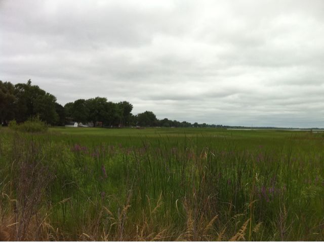
There’s no road following the bayshore out of the Tri-Cities area into the thumb; you have to go inland, past cornfields and… fields of things I am not botanist enough to identify from the road. But once I got to the west coast of the Thumb, it reminded me a lot of the west coast of the Hand. The strip of land between the highway and the Bay has lots of cute cottages (rather few of which were for sale, which is noteworthy in Michigan) and actual… beaches. Yes, the same westerly winds that made the Lake Michigan/Michigan coast so beachy also work here. I pulled over at the beach in Caseville, the town nearest the state park. Nice beach.

I got to Albert Sleeper State Park about 6pm. How does it take over 9 hours to travel such a short distance? First, note that I did not take the direct route. It’s probably only about 50 miles across the Bay. But still: it’s under 150 miles. OK, riding slowly helps. I’m rarely hitting 40mph (actual speed, not the scooter’s optimistic guess) on this trip. Blame poor aerodynamics and… er… mass. But the main reason is that I’m stopping to smell the roses, and just not giving a damn what time it is. Hell, most of the time I’m not sure what day it is. I like this.

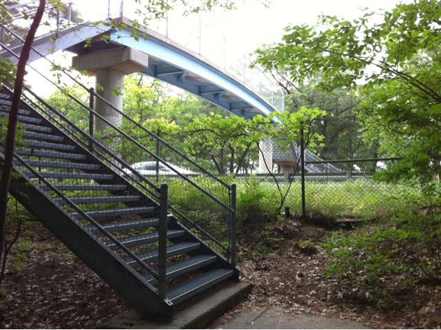
The day-use part of the park is on the north side if the highway, with the campground across the street, with an overpass walkway. I was careful to reserve a site at the side of the park away from the highway.

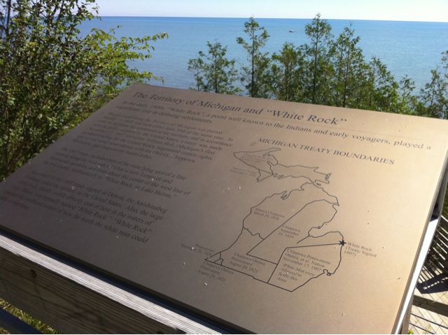
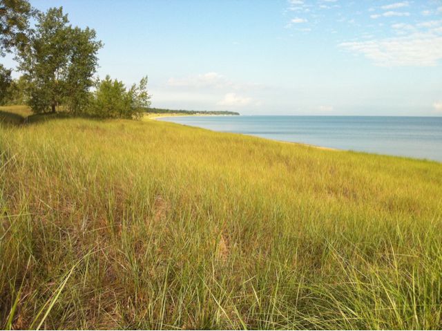
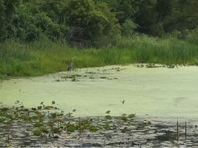
Because of its position at the tip of the Thumb, Sleeper claims to be one of the few places in Michigan where you can watch both a sunrise and a sunset from/to the Lake. I’m not getting up to catch the 6am sunrise, and I missed the sunset; I’ll take their word for it.

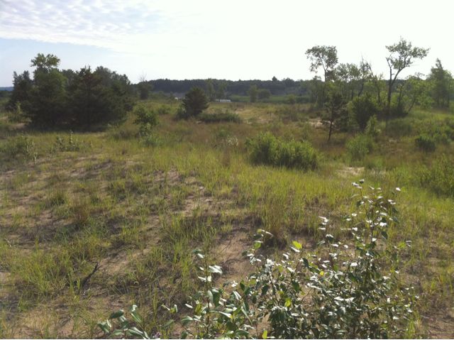
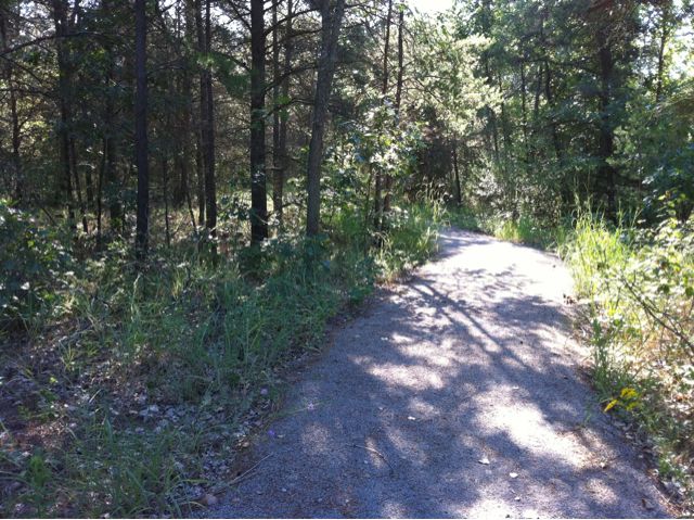
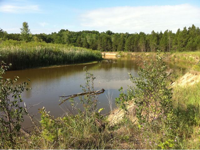
Instead I was hiking their trails at sunset, where I apparently stalked a deer. The first time we met she saw me before I saw her, and bolted away. Conveniently the trail went the same direction, and I saw her again, briefly. My camera was useless for this, as it’s slow to activate, slow to react, and the autofocus is useless in woods where trees stand in front of trees which stand in front of deer; it always focuses on a tree. A while later I heard her snorting. This is her way of warning other deer of danger. I’m harmless of course, but a deer smelling the same human repeatedly would understandably conclude she is being hunted. And in fact the land in question is open to hunting (not that a deer could ever comprehend that concept), so her reaction was correct.

West Saginaw Bay

Monday, 19th July 2010; 3:36 pm - Location: , ,

Last night’s rain gave way to drizzle this morning, which eventually gave way to overcast. I didn’t rush breaking camp, giving the tent and rain gear a little more time to dry before packing them. But without the sun, they were never going to dry entirely, so I showered, packed, and hit the road at about 8:30.

It was dry, but cool enough that I considered putting the rain coat on as another layer. I found a nice quiet two-lane road that would’ve gotten me off US-23 and through trees and farmland, but I was running low on gas so I took the US highway to the next city, then switched to the state highway, which wasn’t as busy. It was a 4-lane road, but those are nicer for a scooter than busy 2-lanes because faster vehicles can easily pass you.

I pulled off the highway at Linwood Rd, which led to the village of Linwood, on Saginaw Bay. Technically I had seen the Bay at Tawas, but that was the mouth of the bay, so it was really more like Lake Huron. It looks like the shoreline is dominated by marshes. They’re beautiful and a fascination environment, but not so great for building sandcastles and frolicking in the waves. This may account for it not being a vacation mecca.

A while latter I stopped on a whim when I saw I was passing Bay City State Rec Area. This turned into an extended stop, as overcast gave way to partly sunny, including a hike of the nature trail. My ad hoc bird-watching expedition nabbed me a trio of swans, a couple Great White Egrets, and – almost didn’t see it – a Great Blue Heron.

My plan was to have lunch in Bay City, which I’m doing… at 3pm. Finding a place for lunch in downtown Bay City/Essexville that isn’t a chain is not an easy task, but I found El Mexicano, an authentic Mexican restaurant, on one of the local strips. They stopped serving lunch at 2pm so I had dinner: a big plate of pollo jalisco, which I think will cover lunch and dinner just fine.

Reflections at half way

Sunday, 18th July 2010; 9:56 pm - Location:

Obviously the trip hasn’t been going perfectly, but that’s to be expected. I might argue that it’s the point. (And since I’m the one who chose to do this, I would win that argument.)

Some people take trips to relax and take it easy. That’s fine, but it’s rarely my intent. I do it (among other reasons) to get away from my regular life and to challenge myself. It’s succeeding.

In some ways this is how I’d like to live: active for hours at a time, eating only to stay fueled, early to bed/rise, doing something different every day. Bit it’s also full of my biggest anxieties: unfamiliar places, all new people… traffic.

Traffic on this trip has generally been less stressful than last year. Some of that is probably my greater confidence level, but it’s mostly just the route I’ve been taking. (Riding US-2 across the UP with all the semis was… scary.) I rarely can keep up with traffic. But oncoming traffic is light enough that most of the time people can pass me quickly, sometimes without even letting up on the accelerator.

But some people are pricks, incompetent drivers, or both. The worst tend to be people towing campers or boats. They don’t grasp that they have 30 feet of vehicle behind them, and start to pull back over into my lane as soon as they can no longer see me out the passenger window.

To some people traveling like this is an insane unnecessary hardship. But to me it feels a bit like cheating. I’m not carrying my gear myself, I’m eating in restaurants (or store-bought sandwiches) rather than carrying and preparing my own meals… I’m not even walking from site to site. That’s doing it the right way. To be honest, I had another trip in mind (hiking in the Rockies), but decided I wasn’t in good enough shape for it. I’m not as young as I used to be either, and I have to allow for that. I consider myself lucky that I can still handle sleeping on the ground. As long as I can, I will. And when I can’t… I’ll adapt some more.

More rain at Tawas Point

Sunday, 18th July 2010; 9:48 pm - Location:

It started raining lightly with a little thunder and lightning around 8:30pm. I held out for a while in my rain coat at the picnic table under the tree, but when it started to rain in earnest after 9, I quit the field and retreated to the tent.

Then at 9:30 it got ugly. I can’t see how bad, but I can hear it drumming on the tent’s rain shield in waves. Plus the lightning. And wind. I’m looking a some radar images (how could one travel without weather radar?) and it’s bright red. But I can see on radar that it’s just passing thru. And the forecast for tomorrow is partly sunny and only 10% chance of rain. Ah, Michigan!