Archive for the ‘Uncategorized’ Category

Revised plans

Sunday, 14th July 2019; 6:51 am

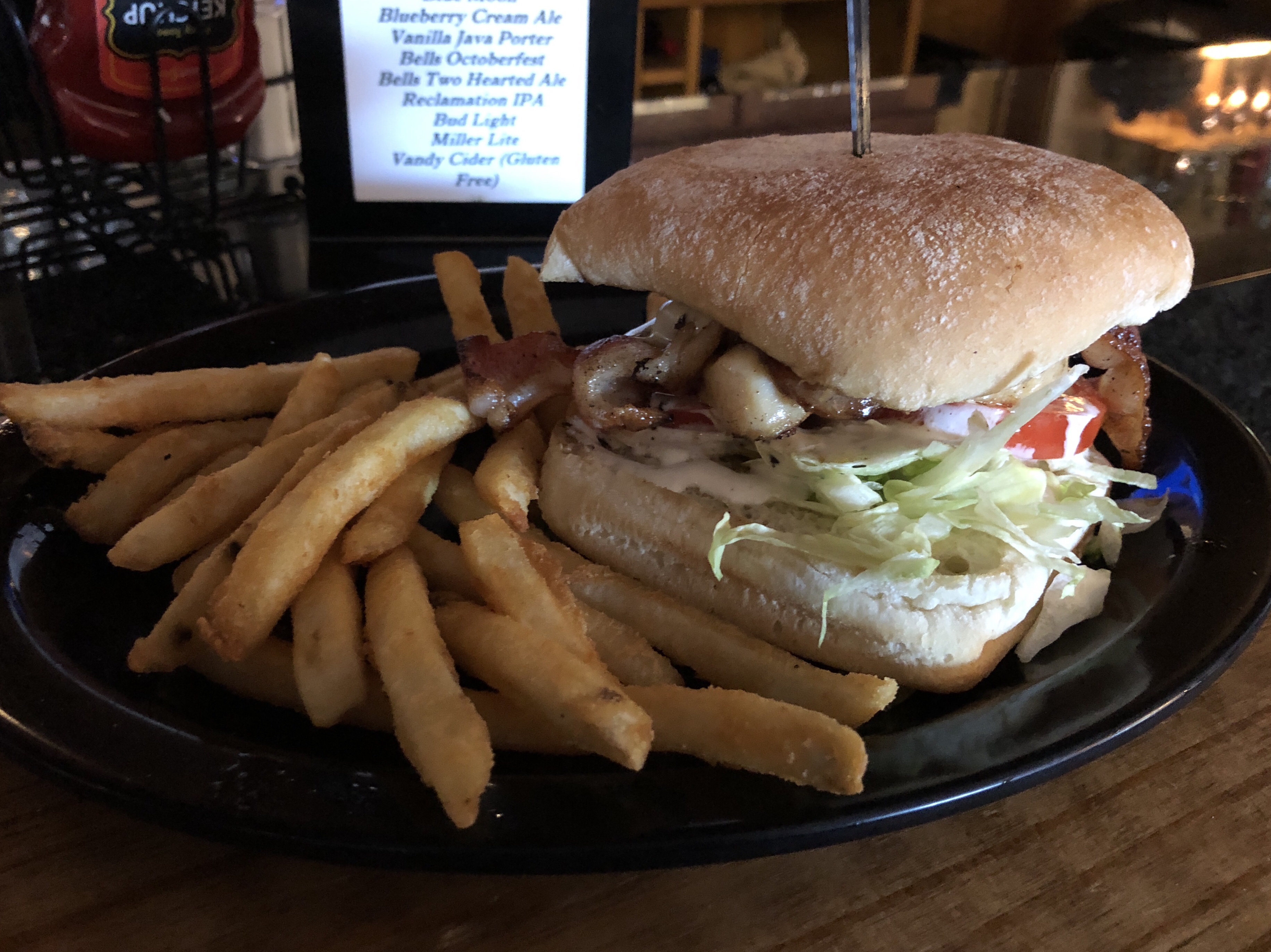
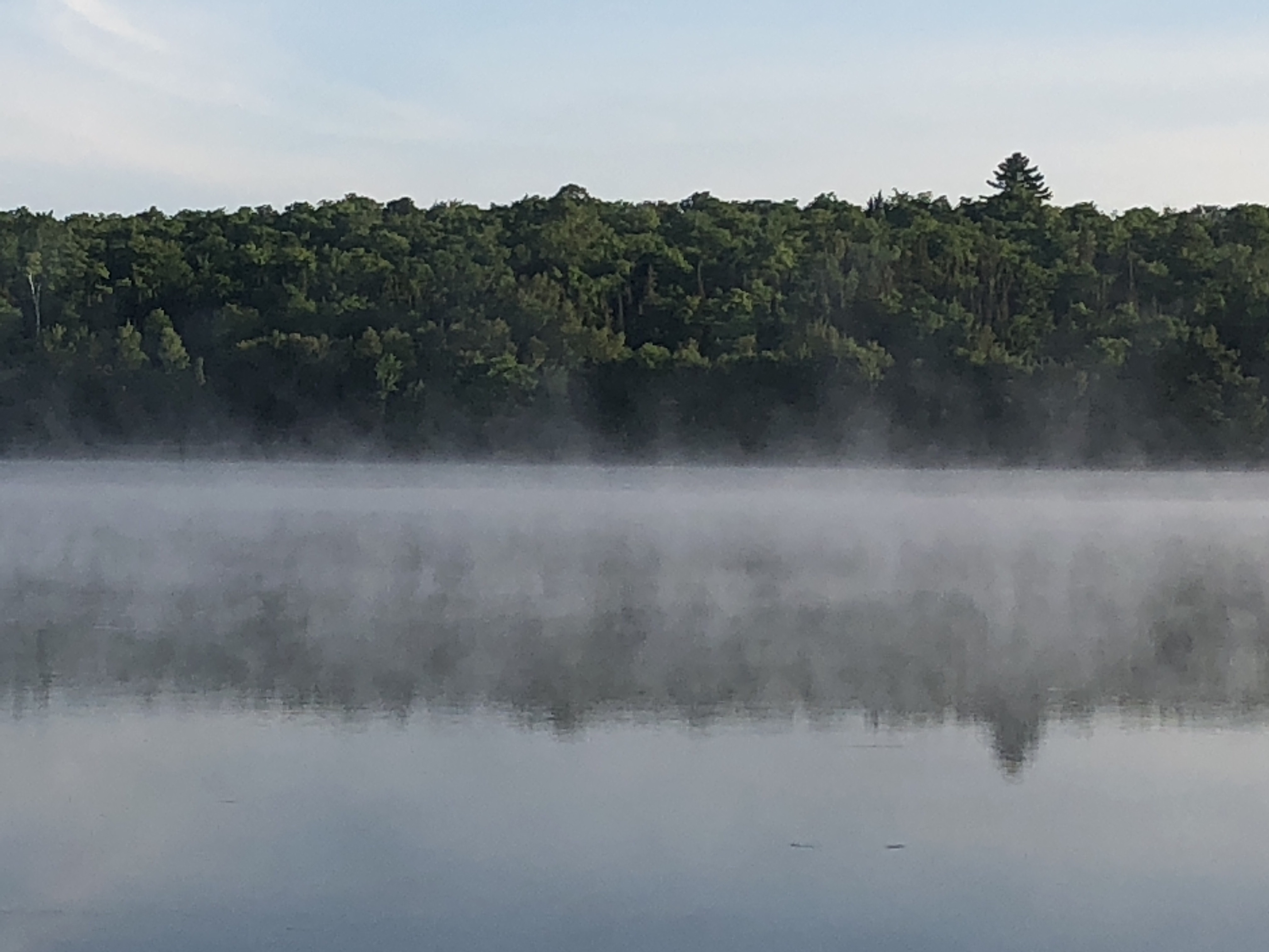
It got down to the low 40Fs last night. I am so glad I threw in that extra hoodie! The forecasts are for much warmer nights after this, but that’s… chilly!

As promised, I slept on the question of what to do with my travel plans, and I think I’ve decided on changes:

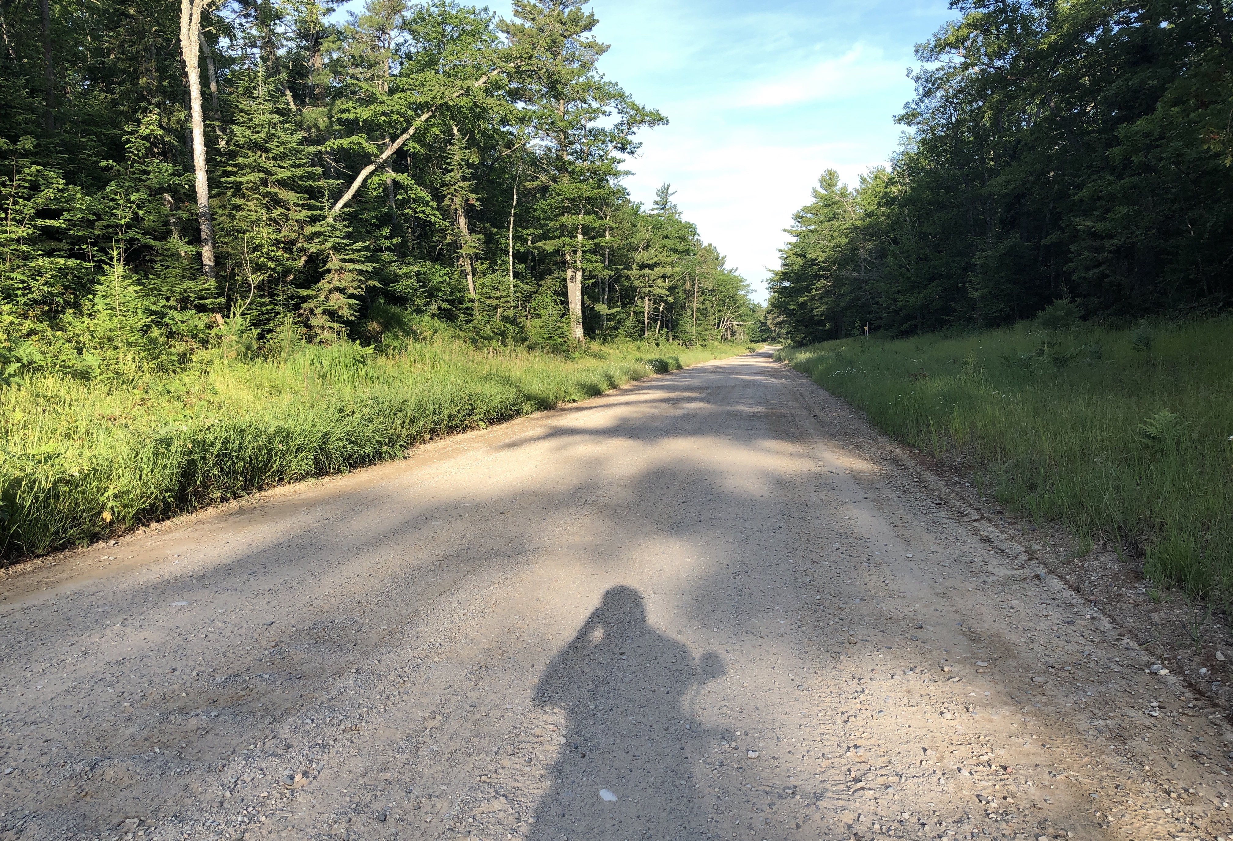
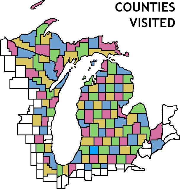
Instead of doing the long arc north of Lake Superior, which would involve spending most of four days just sitting in the saddle on a long road with the throttle open, I’ll be taking a shorter route to the south.

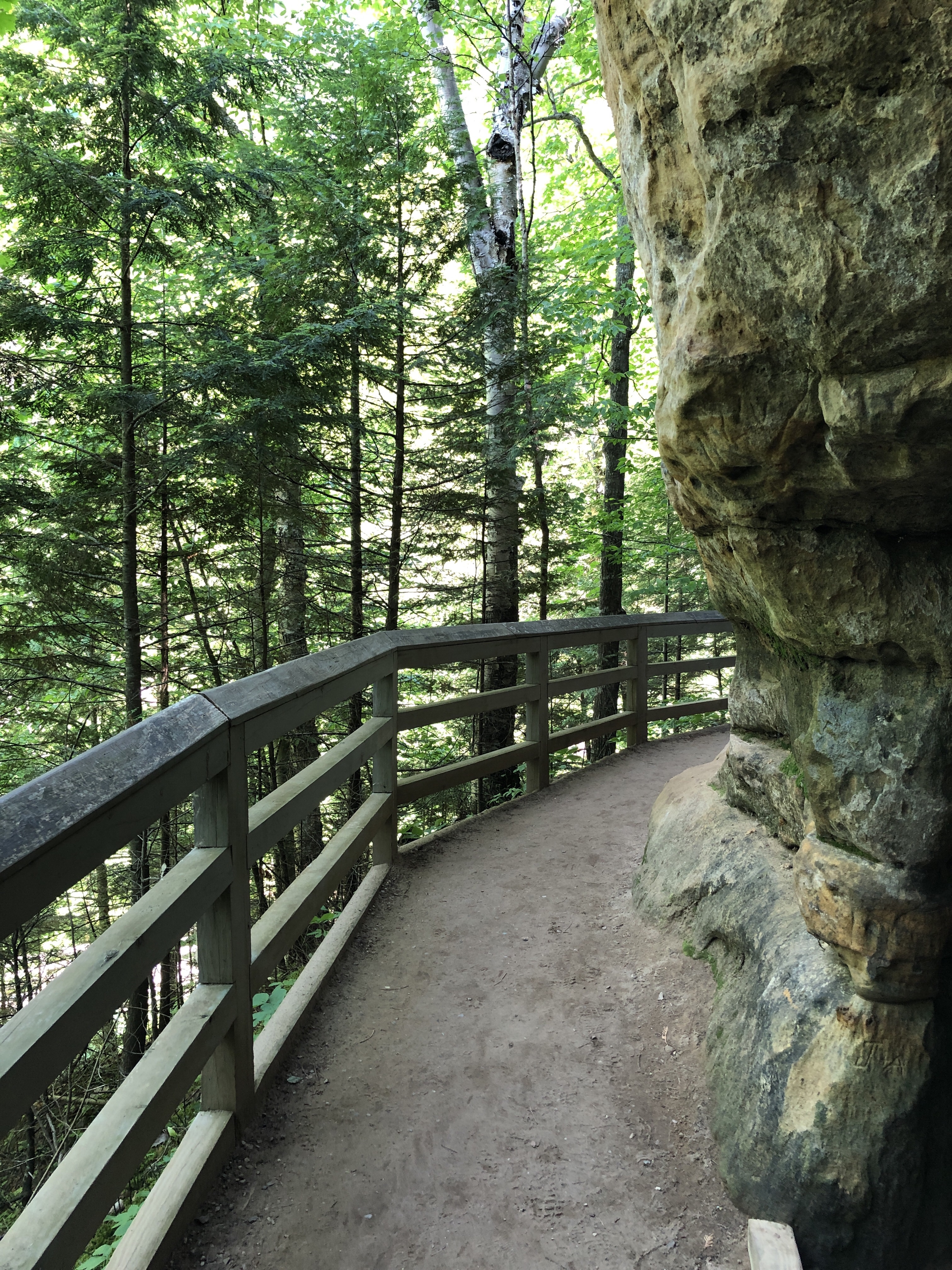
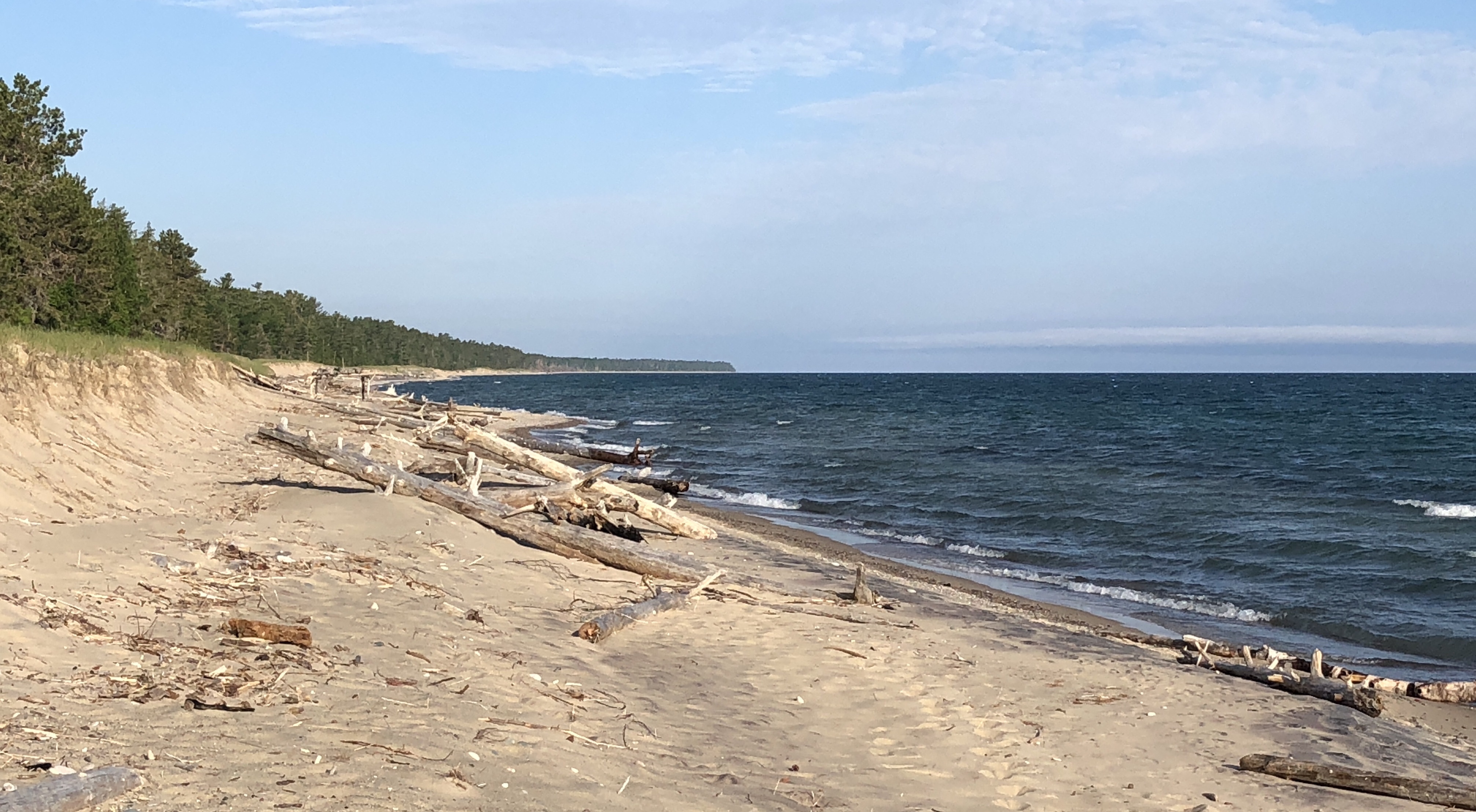
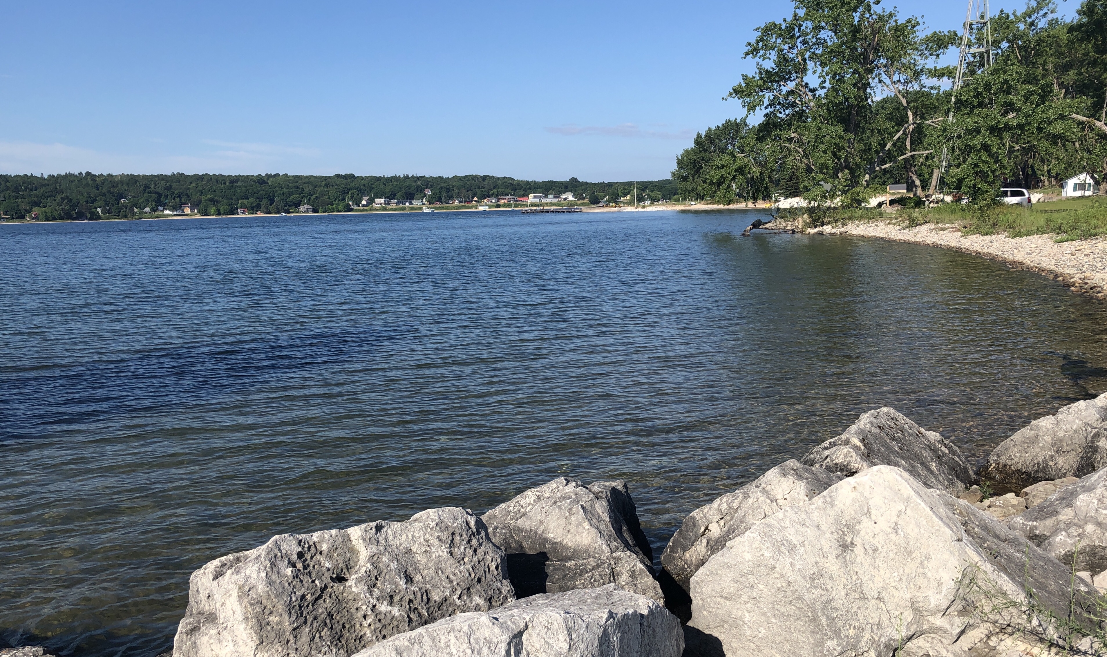
My plan is to ride today to Fayette State Park in Delta County, on Lake Michigan. It’s a place I skipped over on my way through the UP before because it was out of the way. From there I’ll head east to St Ignace, and spend the night at Straits State Park by the Mackinac Bridge. Then home.

It isn’t turning around: it’s changing course. Both days ahead would have fewer miles to ride, and the first should also be low on traffic. It means missing some things I was looking forward to – the Apostles, Isle Royale, Pukaskwa park – but maybe I can get to those another time, by car, where the travel is a bit faster and safer. And I can do some more leisurely riding after I get home.

I’m still thinking about options, so this isn’t set in stone, but I think this would cut out a lot of the stuff I’ve not been looking forward to, now that I’m back out in the road and remembering what highway riding is like.

Superior Day 2

Saturday, 13th July 2019; 11:11 pm

You may have gathered from my metaphysical post that today wasn’t all happiness and fun.

The county road that was to take me into Munising… didn’t. It was closed just outside of the city, sending me on a detour that I apparently got lost on. Getting to Munising Falls – just west of the closure – was a little tricky.

I remember it from 10 years ago, and I definitely recommend it, especially since it’s so close to downtown/harbor. It isn’t huge, but it’s a cool setting, in a narrow gorge that it carved.

Tannery Falls is apparently nearby, but I couldn’t find it due to road construction.

Horseshoe Falls turned out to be a private, admission-fee, tourist-trappy thing.

Alger Falls is little more than a spot by the highway we’re water comes down the rocks.

Wagner Falls is worth a visit. In fact, it clued me in to M94: a less busy, inland alternative to M28, which runs along the Lakeshore.

Which was a good thing, and a bad thing. In many ways, it’s the opposite of the county road I took through Pictured Rocks: no curves, and the woods aren’t hugging the shoulders. Not very many cars/trucks, and they could usually pass quickly, but the road quickly became… tedious. Which got me thinking about some of the roads ahead of me: Minnesota-61 from Duluth to Grand Portage, and the Trans Canada Highway. Also know as Day 5, Day 7, Day 8, and Day 9. And those will be busier.

M94 also brought me past Laughing Whitefish Falls, which weren’t previously on my agenda. it’s a fairly high falls that, instead of cascading down a series of steps or simply falling down a cliff, it falls a little ways then flows down a slide.

So after mostly skipping Munising, I bypassed Marquette entirely, heading to Van Riper State Park more directly, inland. This still put me on M28/US41 for a while, reminding me why I don’t like those major roads.

Van Riper is much like I remember from before… except for the sinkhole. The road from the main campground to the rustic campground is completely impassable. The ranger who booked me in neglected to mention that, or the mile-long detour needed to get there. It’s ordinarily a short hike to the showers from the rustic campground; I had to take the scooter to get there and back before dark.

Thoughts at the bar and grill for dinner.

Saturday, 13th July 2019; 7:25 pm

Before I drop off the internet, some thoughts with my dinner:

I’m thinking that I might be going about this trip the wrong way. Yeah, heck of a time to start thinking that, eh?

The problem is that I’m trying to do a few different things, and they’re kind of at cross purposes. I’m trying to go for a hike on Isle Royale, and another to Chigamiwinigum Falls, and seeing the Apostle Islands… but I’m barely doing those. I’m trying to do some scooter riding… but the kind of riding I’m doing this afernoon, and I’ll be doing a lot more of – open throttle on roads with more than a few cars from time to time – isn’t all that fun. So I’m not really enjoying the destinations OR the journeys as much as I’d like.

The question is what to do about it. Turn around and head home? Go through with it all anyway? Somewhere in between (e.g. go as far as the Porkies tomorrow, or the Apostles the day after, then head home)? This is a very good question.

And I’m going to sleep on it.

As a point of reference, I’m staying at Van Riper State Park tonight, a bit west of Marquette. If I chose to, I could get back to Mackinac in a day. Every day farther I go would add another day of backtracking if I decided to do that. By the time I get to Ontario, turning around would be worse than going foreard.

VanMeer, Pictured Rocks

Saturday, 13th July 2019; 4:19 pm

I ‘ve had a fairly uneventful ride through Pictured Rocks this morning, stopping from to time for a scenic spot, such as this overlook of the Sable Point lighthouse (I think). For the mot part it was just a lovey ride through the woods:

I came across a couple of vultures who basically just flew down the road ahead of me, before perching in a tree. I got a few photos of them with the good camera, but I can’t upload those.

I’ve stopped for lunch at the Bear Trap, a roadside bar and restaurant in the metropolis of VanMeer. They have a pasty on special for lunch, and I like pasties, so I figured I ought to have that while I’m in the UP.

Sable Falls

Saturday, 13th July 2019; 11:18 am

Sable Falls is (are?) just west of Grand Marais, a short drive off the road, and a short walk (with a lot of steps) from the parking lot.

There’s also access to the Sable Dunes, which are much like the dunes of West Michigan. (The trademark cliffs of Pictured Rocks are still to the west, I gather.) That’s a little bit more of a hike to get to.

You shouldn’t visit Pictured Rocks without taking a boat tour of the cliffs (or renting a kayak and doing your own your, I suppose), but I did that on my visit in 2009, so I’m going to focus on waterfalls and such on this pass. I’m riding through the interior of the park, which is already looking like some great riding road.

Grand Marais

Saturday, 13th July 2019; 10:00 am

I had forgotten – until I was reminded of it yesterday evening – that the road from Muskallonge to Grand Marais is largely unpaved. I knew it when I planned this route over a year ago, but it slipped my mind. There was a sign on the road leading to Muskallonge.

It’s about 12 miles of hard-packed sand and stones. I try to avoid that kind of road, but it saves a huge detour inland. It wasn’t too bad, but there were areas of mud, and lots of loose sand and gravel. Like most roads of this type it’s prone to “washboard”: where traffic creates rows and rows of packed ridges, perpendicular to travel.

It took me an hour and half to ride, including a stop to explore the beach a little halfway. So, about 10-15mph the whole way.

Grand Marais is a little town on the east end of Pictured Rocks National Lakeshore. I topped off the tank (.75 gallons) at the general store.